Lost Lake, Hessie Trail
February 19, 2012
Indian Peaks Wilderness
Hiking Party: Aaron Dover, Amanda Harnden, Scarlet
Round Trip Distance: 5.28mi
Directions from Denver: US Route 6 West, CO93 North to CO72 West. Stay on CO72 West for approximately 27 miles and take a left onto Eldora Road (not marked), and be sure to stay RIGHT at the fork in the road. You will go through the town of Eldora, and find parking where the road ends (TH).
I will start by saying that this lake is no longer lost. We arrived at the TH at approximately 9:45, and there were already large groups of people strapping on their snowshoes and preparing to hit the trail. Regardless, it was a great day to be outside, so I couldn't blame them! We strapped up, and hit the trail happy to finally be outside, and out of the city.
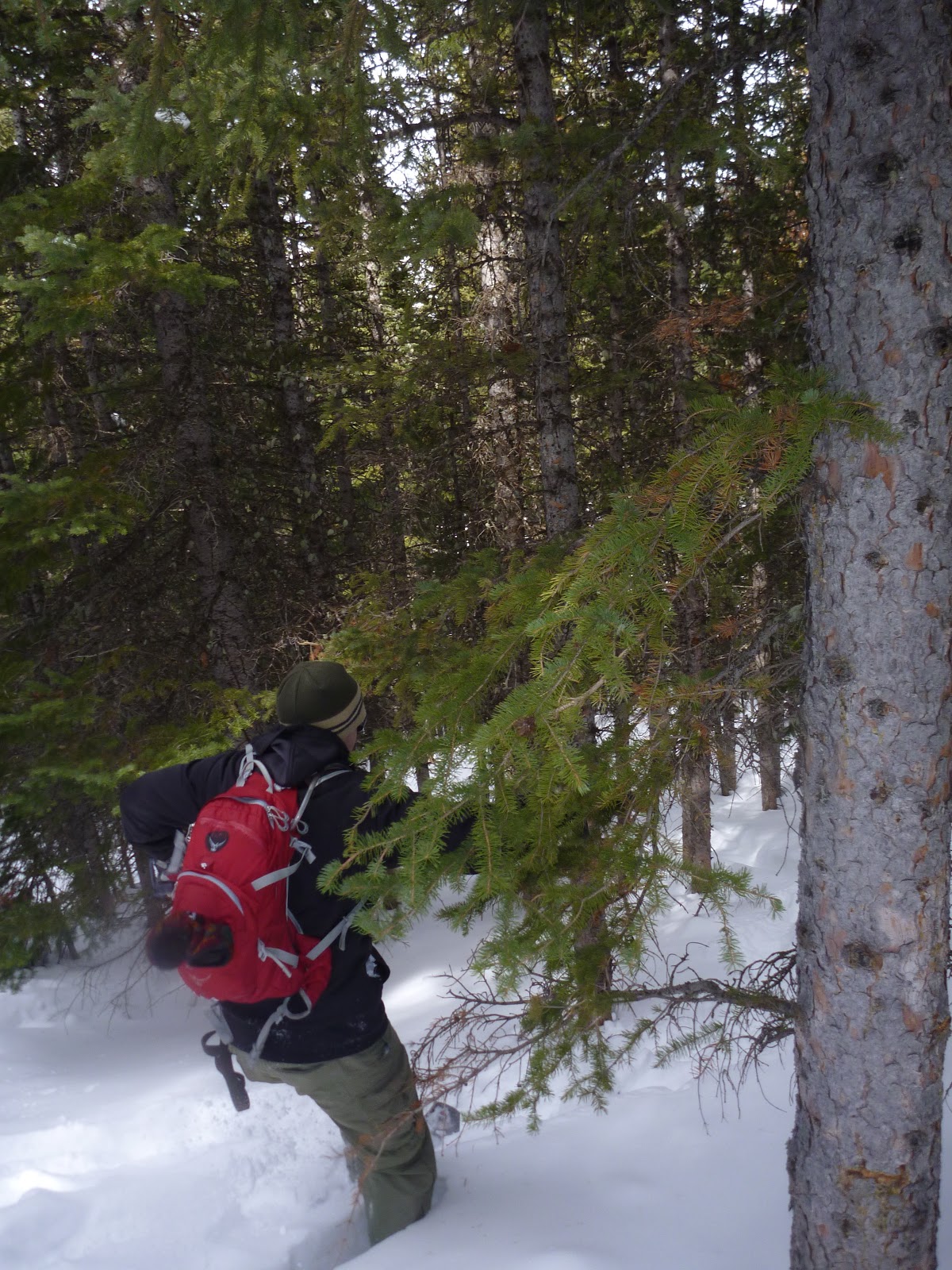 |
| Heading out, knee deep with snow shoes off trail. |
The first mile was very tame, and the trail was in great shape, so we made pretty good time. The following 1.5 miles is a climb, gaining 1000' in elevation, and a nice test after a few weeks of not being at elevation. It gives you a good sense of your leg strength and cardio in a short, but serious climb. The top was not as spectacular as we were reading about, but still gorgeous and plenty of snow and photo ops! We met a local from Coal Creek who was skinning all the way up, and he recommended checking out Moffat Tunnel at some point too.
 |
| Scarlet and I at Lost Lake |
 |
| Amanda and I at Lost Lake before lunch |
The way back down was all downhill and more enjoyable for sure! There were enormous amounts of 2-leggers and 4-leggers headed up, and we both were happy to have gotten such a jump on the crowd. Honestly, I can't remember ever seeing so many people out in the woods on one day...PACKED! We tried out Amanda's new Garmin Forerunner watch which is really cool since it gives you all kinds of neat info such as mileage, elevation, pace, etc..here are a few screen shots of the data it captured:
 |
| Elevation Chart |
 | ||
| Route |
It was a challenging snow shoe for us, and we liked it. Some factors to consider are it does see heavy crowds, including copious amounts of dogs, and some motorized traffic. The view at the end was not as spectacular as other things we have done, and was somewhat anticlimactic.
Oh, we have developed a new rating system, and this hike is the first one to gain a rating. It earned 3 out of 5 possible marmots.


I loved the hike! Such a great day to get out there. The views on the way there were amazing too! Definitely not the 'wow' moments at the top, but maybe that was due to the clouds :-) I think Scarlet hiked well over 10 miles!! Definitely a good pump!
ReplyDelete